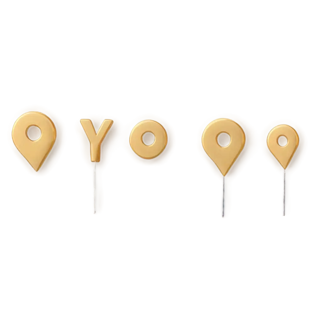
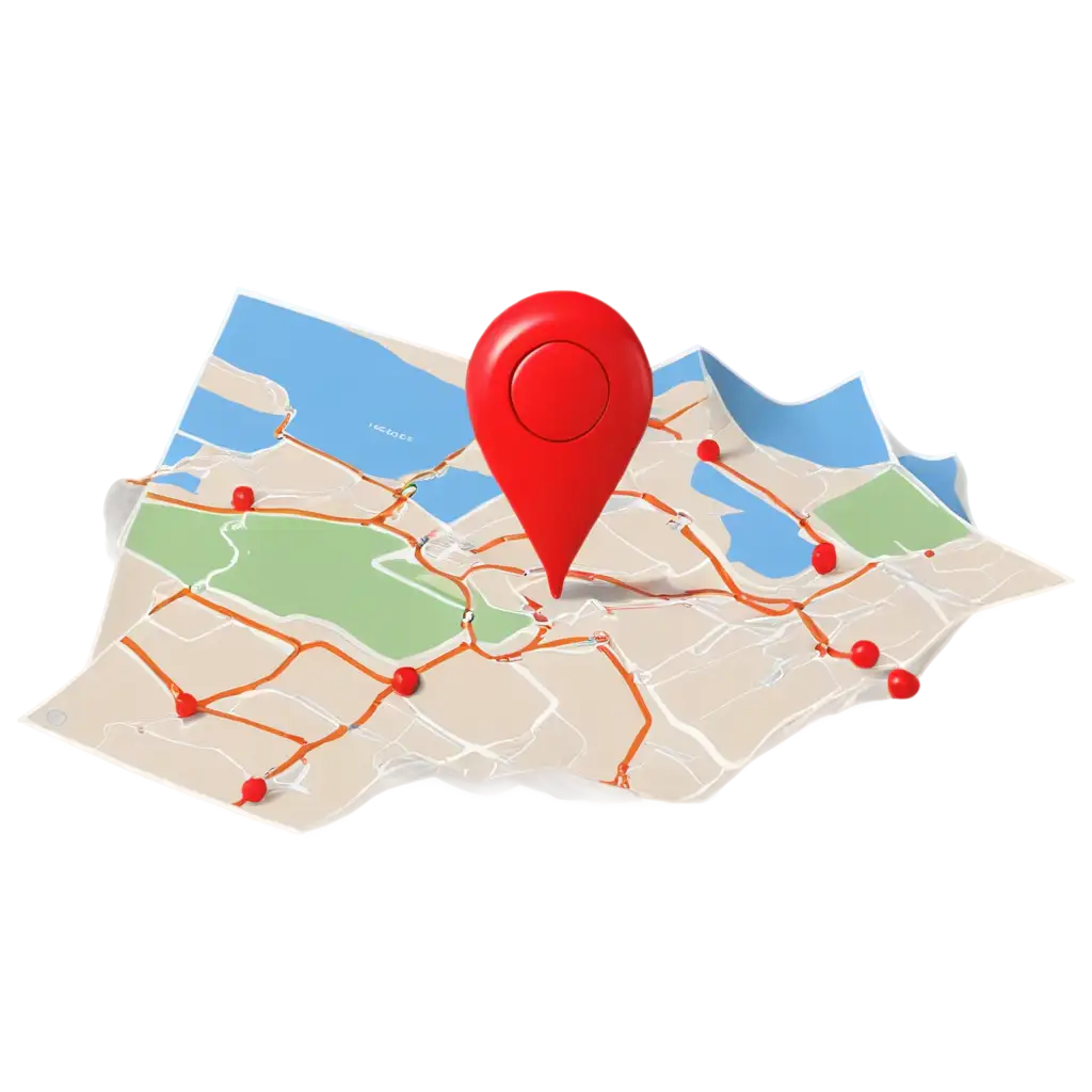
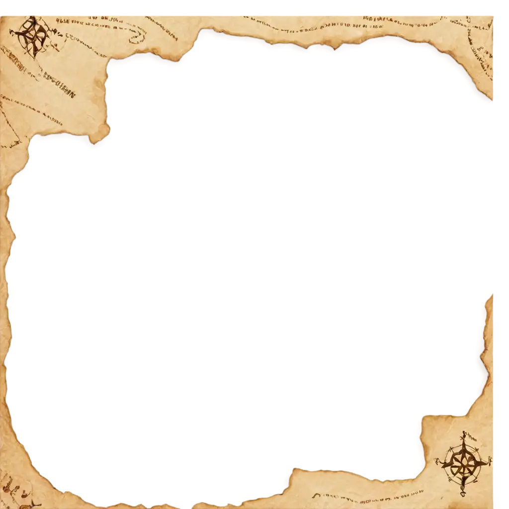
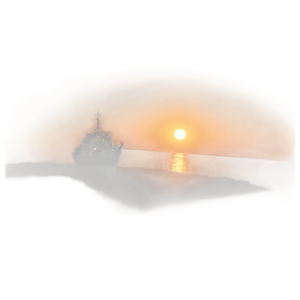
13 Free Map Illustrations transparent PNG images
Welcome to our exclusive collection of over 13 free PNG images under the 'Map Illustrations' tag. This diverse gallery showcases a wide array of creatively designed, high-resolution map illustrations that are perfect for various applications, from educational projects and presentations to web design and artistic endeavors. Each image is available for free download, and users have the unique opportunity to click on 'open in editor' on the PNG image detail page, allowing them to adjust the prompt and regenerate the image to better suit their needs. Whether you're designing a treasure map, planning a geography lesson, or simply exploring creative possibilities, our Map Illustrations PNG images are your ideal resource.


Related Tags
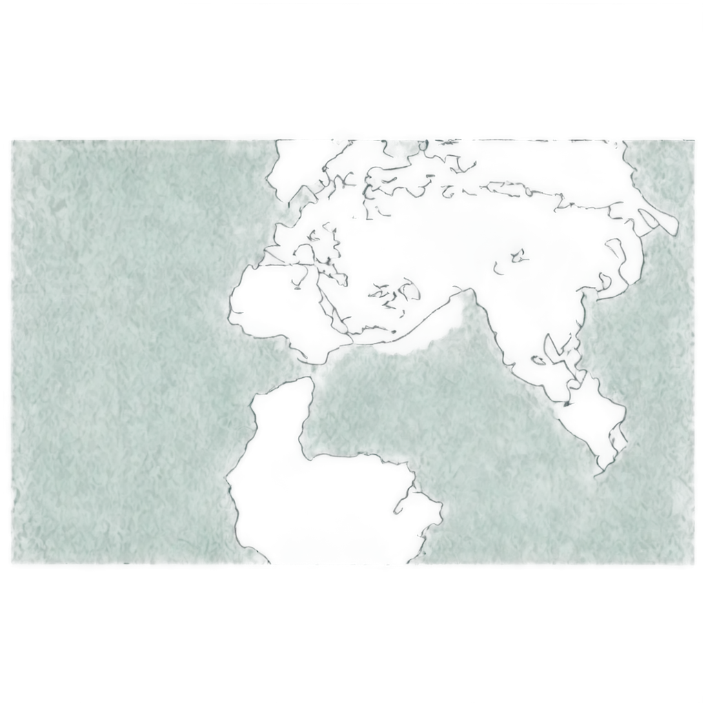
Map Illustrations in PNG format offer unparalleled versatility for a wide range of uses. The transparent backgrounds of these images make them ideal for overlaying on various projects without the hassle of background removal. Whether you're working on digital presentations, designing educational materials, or creating unique artwork, these map illustrations provide a flexible foundation. With the ability to customize and regenerate images directly through our PNG Maker, you can ensure that each map illustration perfectly aligns with your creative vision.
Discover the Versatility of Map Illustrations in PNG Format
Transparent PNGs, especially those within our Map Illustrations category, are a top choice for designers and educators alike. The key advantage lies in the transparent background, which allows for seamless integration into any design, regardless of the background color or texture. These images are particularly useful in web design, where they can be layered over different sections of a site without clashing with other design elements. Additionally, the high resolution of these PNGs ensures that they remain crisp and clear, even when resized or placed over complex backgrounds.
Why Choose Transparent Map Illustrations PNGs?
Customizing your Map Illustrations PNGs has never been easier thanks to our intuitive online editor. By selecting the 'open in editor' option on any image detail page, you can adjust the prompt and regenerate the PNG to better fit your project's needs. This feature is especially useful for those looking to tweak specific details, such as color schemes, map borders, or geographical features. The editor provides a user-friendly interface that allows for quick and efficient modifications, ensuring that your final image is exactly what you envisioned.
How to Customize Map Illustrations PNGs Using Our Editor
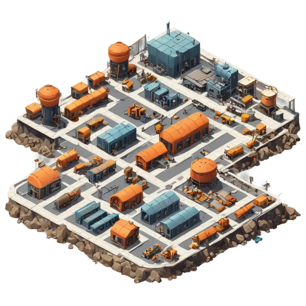
Map Illustrations PNGs are not just functional; they are also a fantastic resource for creative projects. From designing themed invitations and posters to crafting detailed infographics and game maps, the possibilities are endless. The transparent nature of these images makes them easy to incorporate into various mediums, be it digital or print. Artists and designers can use these illustrations as the base for complex compositions, while educators can enhance their teaching materials with visually engaging maps that capture the attention of students. The high quality of these images ensures that they can be used in professional-grade projects without compromising on visual appeal.
Applications of Map Illustrations PNGs in Creative Projects